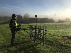
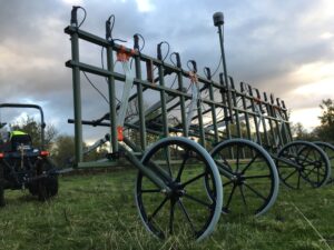
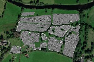
Geophysical Survey is a non-intrusive means of detecting subsurface archaeology and can be a vital tool in assessing the archaeological potential of a development site. A Planning Authority may require geophysical survey as part of an Archaeological Impact Assessment, prior to the commencement of development works and to inform further assessment and mitigation.

Our survey team can apply a number of different methods, selected based on the topography, parent geology and ground conditions, including:
- Ground Penetrating Radar
- Magnetometry
- Magnetic Susceptibility
- Electrical Resistance
- Electrical Conductivity
Choose Shanarc Archaeology for Geophysical Surveys
Shanarc Archaeology is fully licensed and equipped to conduct geophysical survey wherever required. We will work with you to assess the survey site, choose the correct techniques and produce data results in compatible raster/vector formats as required.

Our years of experience and consistent investment in the latest survey equipment and training have resulted in a geophysical team that is uniquely placed to provide accurate information over hundreds of hectares in short timeframes.
All systems utilise GPS, resulting in geomatic precision and versatile datasets that can be processed to best meet the needs of the project. This in turn allows us to advise you on how best to proceed. Just contact us to learn more.
